
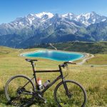
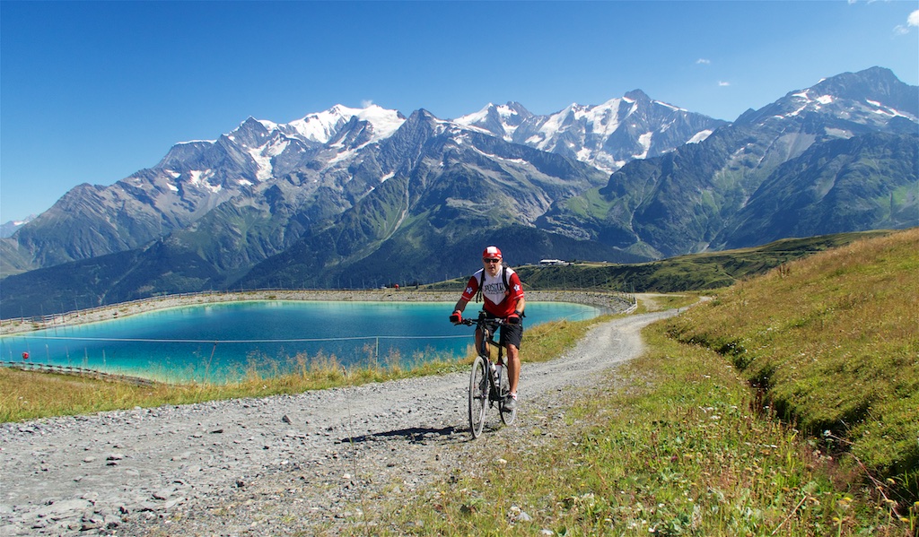
Starting from Les Contamine-Montjoie ski station, this is a great unpaved climb dominated by nearby Mont Blanc. No cars, just views.
The paved road ends soon after leaving town. The entire route (except the last couple of hundred metres) is gravel road with a mediocre surface. The sort of gravel road where you are continually looking for a better line, but can usually find one. It’s not the longest loop, less than 30 kms, but it’s sometimes extremely steep, especially above Col du Joly. I occasionally walked but a strong cyclist should be able to pedal everything.
The far side of Col du Joly is paved, starting from beautiful Beaufort. Details here.
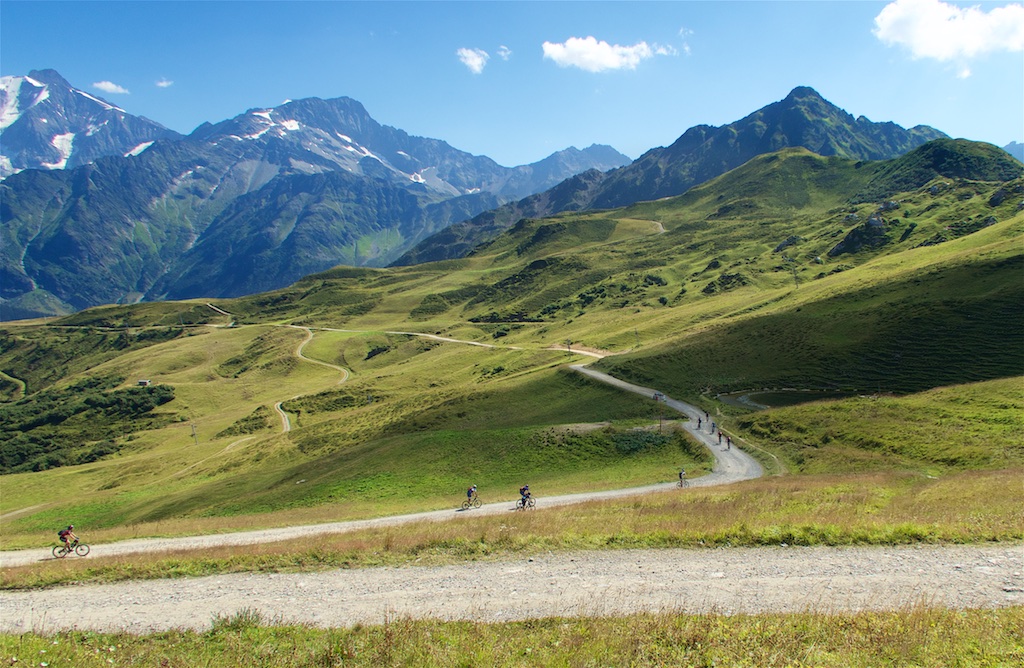
Col du Joly is at 1990 metres. If you look at the map below you’ll see I took different roads up and down. Both are interesting and perfectly ride-able. Either way works.


I stopped at Col du Joly for a photo and saw a bunch of mountain bikers about to descend. But I kept heading higher on a ski-lift service road.
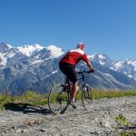
The next stretch is fantastic. It just keeps going higher and higher.

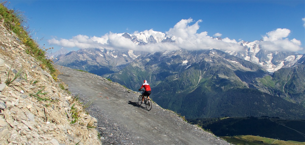
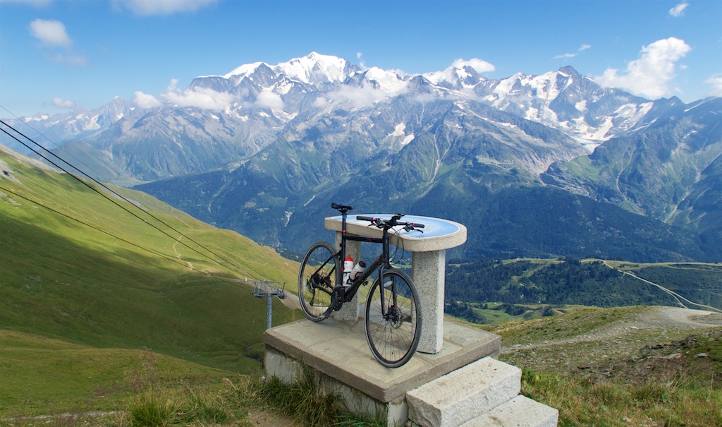
The last few hairpins have some steep stretches but finally reach the top of a chair lift and an orientation map at 2435 metres. Aiguille Croche is a distinctive mountain point (Aiguille = needle) just above, reaching 2487 metres.
I would next follow a little hiking trail just below. At roughly 2400 metres is a terrifying ridge hike that goes for several kilometres to Mont Joly and beyond. I was too terrified to even hike it, but took a photo here.

From here I just descended back to Col du Joly and enjoyed a beautiful descent by a different gravel road.
In this old ride I descend from near Aiguille Croche via hiking trails. Fairly tricky, but perfect for the more adventurous.
This is a superb mountain bike or gravel bike ride. It’s stunningly beautiful, and very quiet. No cars, just the occasional hiker. Perfect.
1 Comment
Pingback: Lac(s) Jovet