
From the mid 1930’s to mid 1980’s there was a cable-car to the top of Mont Baron high above Lake Annecy. This mountain-bike ride reaches the old cable-car platform at the summit, although the station/hotel has been completely dismantled.
The goal:

To reach the summit of that ridge one cycles around and up the back side of the mountain. Previously, I’ve ridden up to Col de Pré Vernet (917m), and Col des Contrebandiers (1050m), but the goal today was to take the remains of old cable-car service road all the way to the top (1254m). The map at bottom labels all these targets.
On previous visits, I would lock my bike at Col des Contrebandiers and hike to the lookout. This is a less crazy option, and the cycling is completely paved. See here for a map and details of an old bike/hike day here with Doreen.
I started from beside the lake. After 4 uphill kilometres, the route turns onto the quiet road to the two cols. I briefly tried a trail option that soon became a little trickier than I wanted, so I soon rejoined the main road.
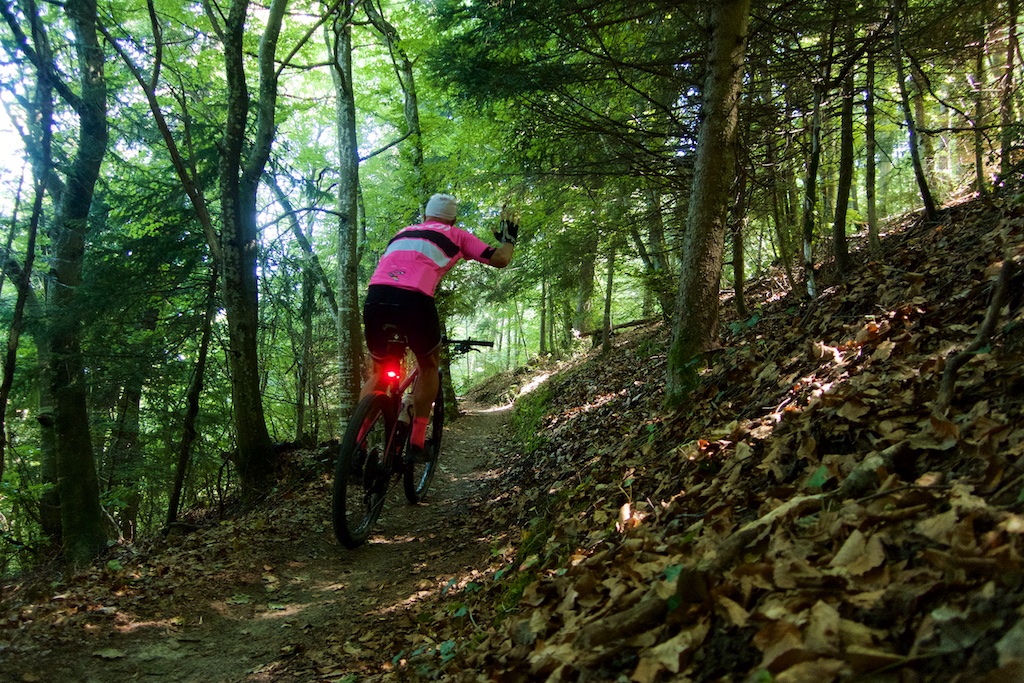
Just before Col de Pré Vernet is a turn-off onto the old cable-car service road. It’s closed to cars. It’s initially just uphill, then become hyper steep. I managed to keep pedalling as it remained mostly paved, but passing an old parking lot it becomes a very rough surface. Much of the last kilometre was too steep/slippery/broken for me to pedal. Your legs may be stronger than mine.

The road then pops out at the top of Mont Baron exactly at the old Télépherique platform and fantastic views of the beautifully coloured lake (this end is the shallow end).

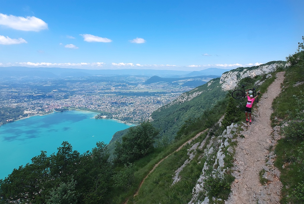
In the photo below, you can see Le Semnoz directly across. It’s the highest paved cycling climb in the area.
For another excellent mountain bike ride leading to great Lake Annecy views see here.


On further consideration, the best option may be my old plan to cycle to Contrebandiers and hike higher. But it was fun to try the old road and get a bike to the top. The ride is only 27 kilomtres but occasionally challenging. And the short route leaves you plenty of time to sit at the summit and enjoy the views.
A 3D video of the route:
1 Comment
Will, your shots are fantastic. Love it. Thanks for the information. Very cool!