Back in May, we hiked up to Chalet des Auges above Col des Glières. We were astonished to see a mountain biker there. Upon interrogation we discovered that there is a terrible quality, old road up the back way, starting in Entremont. I, of course, filed this info for future reference.
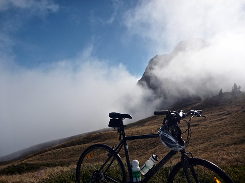
Starting in Entremont, the first 2.5 kms of this “back way” are paved. Then it becomes a wet, slippery, cow-paddied, muddy, rocky, steep, but deserted path. I think there were lots of views and cliffs but I spent 95% of ride in the clouds:

The little detour to Col de la Buffaz -see map – is on a hiking trail. I pushed/carried the bike. No Col sign!
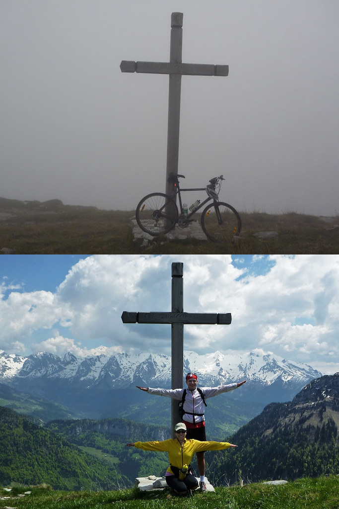
From Buffaz I doubled back to the “road” and continued up. As I approached the top, I saw a cross and realized I had seen this cross back in May.
Note: the views were better then than today (see photo at left).
I did very briefly get above the clouds, but at 1800 metres I ran out of mountain, and descended down to Plateau des Glières in the fog.
After traversing Plateau des Glières, I then descended down the super steep (paved) east side from Plateau des Glières. Nice fall colours:

Overall? This is an interesting loop probably best done on a mountain bike, in summer, on a dry road.
With the snow coming, see this link for a fantastic winter loop over Col des Glières.
3 Comments
Wow, look at all the autumn colours. Nice!
Pingback: Plateau des Glières Snow Loop
Pingback: Chalets des Auges (above Glières)